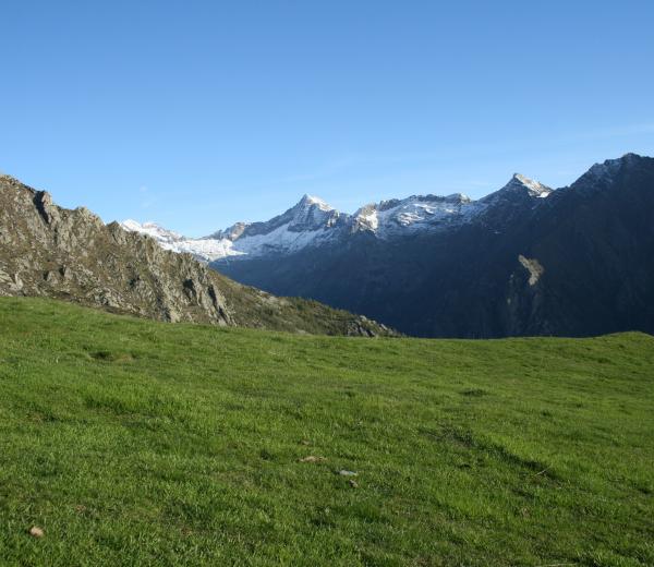
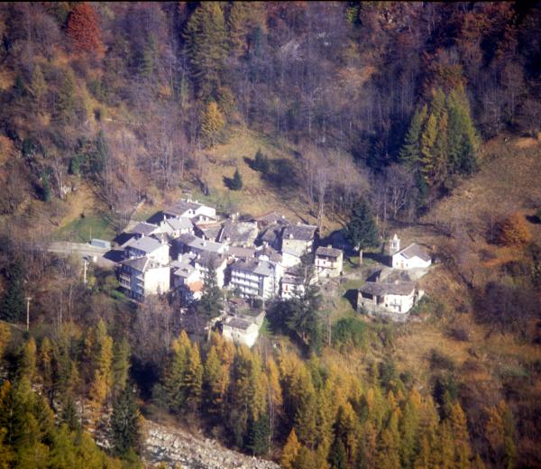
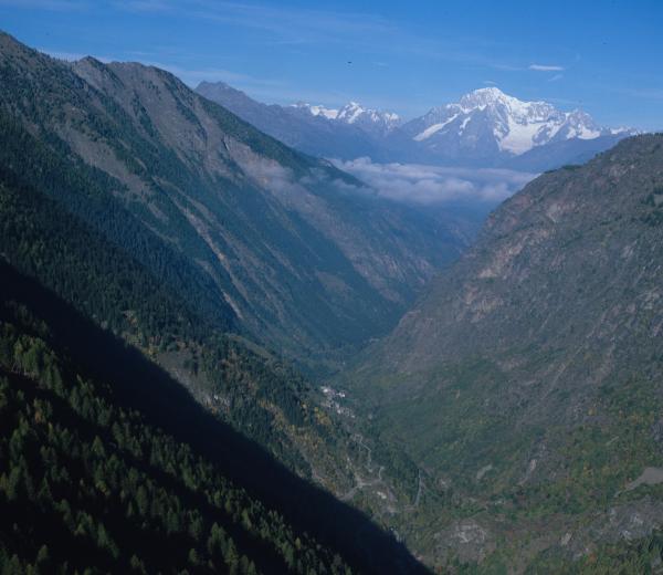
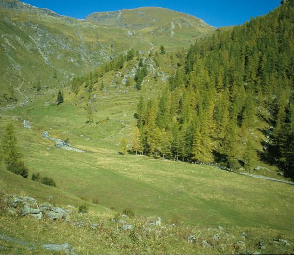
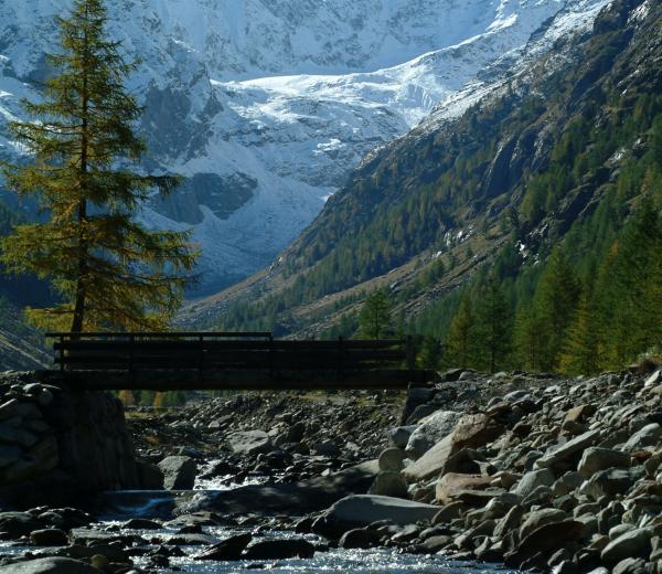
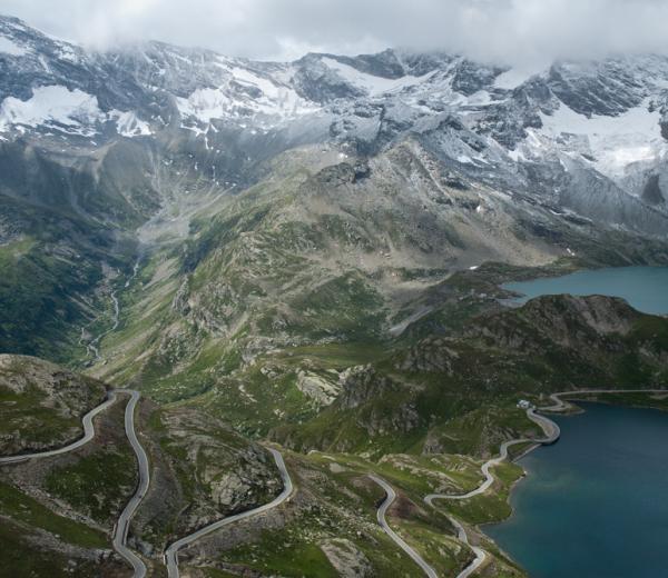
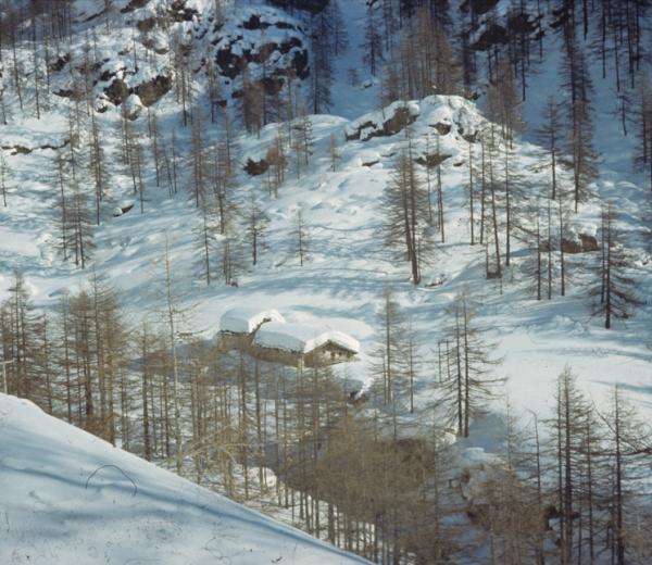
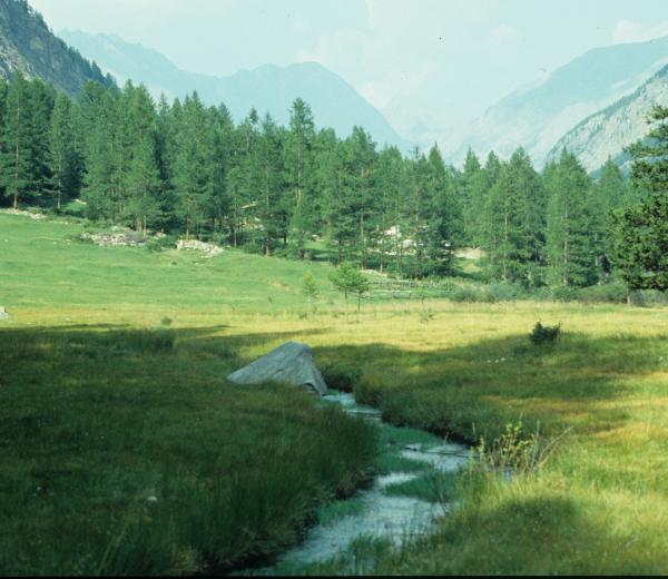
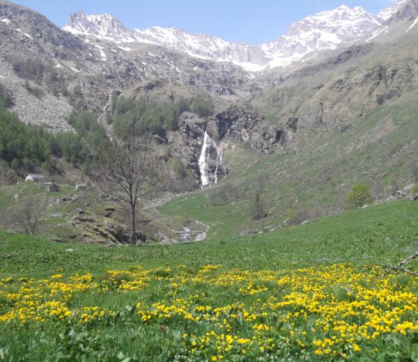
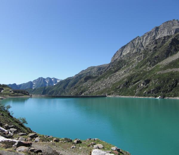
The network of paths crossing the Park expands for over 500 Km through those five valleys included in the protected area. The interactive map permits to navigate within the single valleys, choosing the path that best suits your needs and skills, it's also possible to filter for difficulty and season.
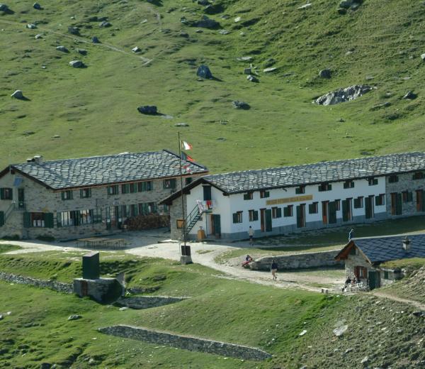
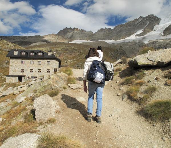
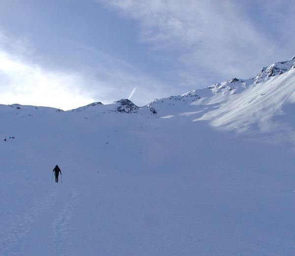
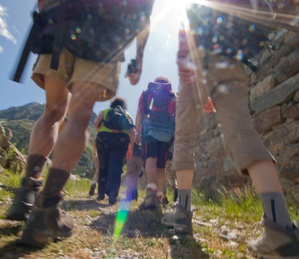
Pay attention to the routes starting point, signs and signals indicating the route, the trail (if available), the journey time and some behaviors to avoid for the people safety and the safeguarding of flora and fauna within the protected area.
Mountain trails may be subject to damage due to climatic events or landslides, it is therefore suggested to exercise caution in the use of informations. The Park Authority is not directly responsible for any damage caused to persons or property resulting from information contained in these pages.
Users therefore exonerate the site managers from any responsibility.
If errors were found in the system or in the network of paths and signage, please contact the service using the email: ufficiostampa@pngp.it