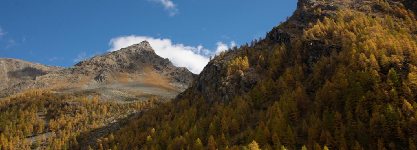


It starts from the small village of Thumel, waymark n.11; after crossing the creek, we begin a long but enjoyable uphill in a forest of conifers (spruce, larch and stone pine) to get up to the huts of the Vaudaletta, subject of an important process of functional recovery by the park authority. From the naturalistic point on view the area is very interesting: it's possible to sight camois, marmots, rock ptarmigan and the mountain vegetation is well represented. The more experienced can continue towards the Leynir hill, from where a spectacular view on the Rhêmes Valley and on Gran Paradiso will be rewarding for hikers. Immediately, below the hill, there are the remains of a small glacier, not very wide but to be faced with extreme caution: in case of ice surfacing it's necessary to advance on the left lateral moraine wire, still paying special attention to the danger of falling rocks.
Caratteristiche del percorso
Valley
Starting place
Thumel
Starting altitude
1.888 m slm
Arrival place
Alpe Vaudaletta
Arrival altitude
2480 m slm (for those who continue to the Leynir hill 3.084 m slm)
Trail sign
11
Gradient
592 m (Vaudaletta) 1200m (Col Leynir) of altitude
Difficulty
Length
5,9 km
Walking time
1h 30’ (Vaudaletta) 3h 45' (Col Leynir)
Suggested period
July - August
Season
Path type