


The itinerary starts from the charming village of Eaux Rousses (French for "red water", for the typical ferruginous water flowing in the area); After crossing the Creek and alpine pastures of Savara Valley, along the former royal hunting lodge road, climb up into a mature forest of larch and spruce, where the beauty of some trees there doesn't have to distract us from the observation of the presence of the typical inhabitants of the place, from the squirrel to the black woodpecker. Found the path that climbs from Tignet, continue until you see the Levionaz Dessous pasture, probably the most important of the Valley, near which grow a cabin reserved for researchers working in the Park and the rangers wooden shelter. The route continues along the great plateau of Levionaz, leaving on the left side the Alp Levionaz du Milieu to finally arrive to the last Levionaz Dessus pasture, after abandoning the path that climbs to the col Lauson. The area is of high natural interest and is almost unique within the entire park for the huge fauna richness, both for the variety of species and for the number of specimens.
Caratteristiche del percorso
Valley
Starting place
Eaux Rousses
Starting altitude
1666 m slm
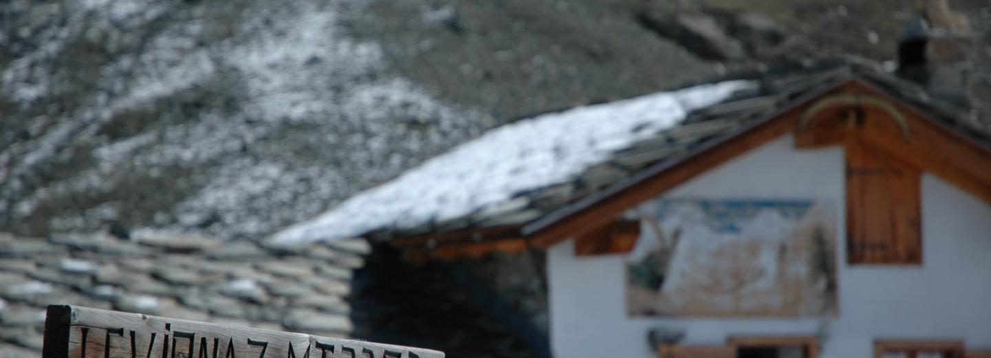
Arrival place
Levionaz Dessous alpine pasture
Arrival altitude
2285 m slm
Trail sign
2 (jellow triangle with black border) and 10B
Gradient
619 m
Difficulty
Walking time
2h
Suggested period
July - September
Season
Support points
Wooden shelter PNGP
Path type